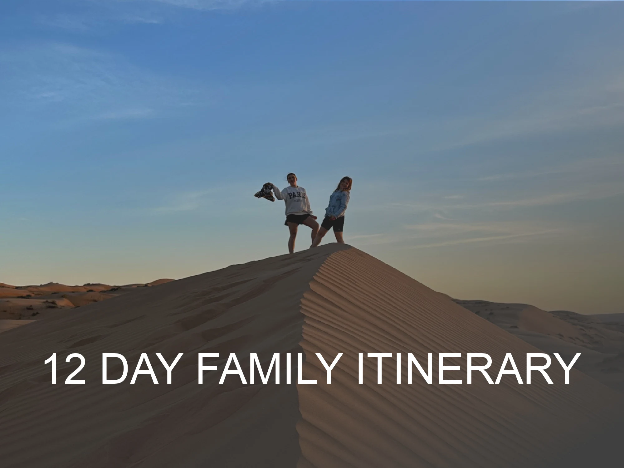
Our biggest road trip in Oman was a drive from Muscat to Salalah and back. In this post I'm sharing the route we took for this epic 2,606km journey, what we saw and where we stayed along the way.
If hitting the road less-travelled and crossing arid plains, through Mars-like landscapes and along astonishing coastlines appeals to you, read on!
But before the good stuff, I'd like to thank you for visiting Oman Wanderlust and also encourage you to join our Facebook group Oman Unpacked. It's a community to get even more personal recommendations from visitors and expats who love Oman.
*This post contains affiliate links. If you click and buy something, I may earn some commission. This is at no extra cost to you but helps me cover the costs of running this website. See my privacy policy and disclosure policy for more information (links in footer).*
Why drive to Salalah?
First things first. You may be wondering why we chose to drive to Oman's southern city rather than fly. This eight day trip was all about the adventure and seeing more of the Sultanate's varied landscapes along the way. Something that we would have missed during the relatively short internal flight.
As expats we also had our own car and camping equipment, so that helped us keep our costs low, saving our budget for four nights refreshing ourselves at hotels after days on the road.
Important differences between the two roads to Salalah
There are two common routes between Muscat and Salalah: the slower but more scenic coast road and the fast, interior road across thousands of kilometres of, it's fair to say, nothing.
They each have their advantages and we travelled both to achieve our round trip in a comfortable eight days.
The coast road to Salalah

We cheated a bit on the first leg of our journey as we had travelled a large part of the coast road from Muscat to Ras Al Jinz before. We could have taken the local road from here all the way down the east of Wahiba Sands. Instead we drove the faster route down the left of the desert and rejoined the coast road at the crossroads town of Mahoot.
From here our journey continued over rocky plains that wouldn't look out of place in a Sci Fi film before weaving along the bottom of towering cliffs, past pink lagoons, climbing mountain passes that eventually gave way to the white sandy coves of Salalah.
We spent two and a half days driving this route, covering nearly 1,300km.
The interior road to Salalah

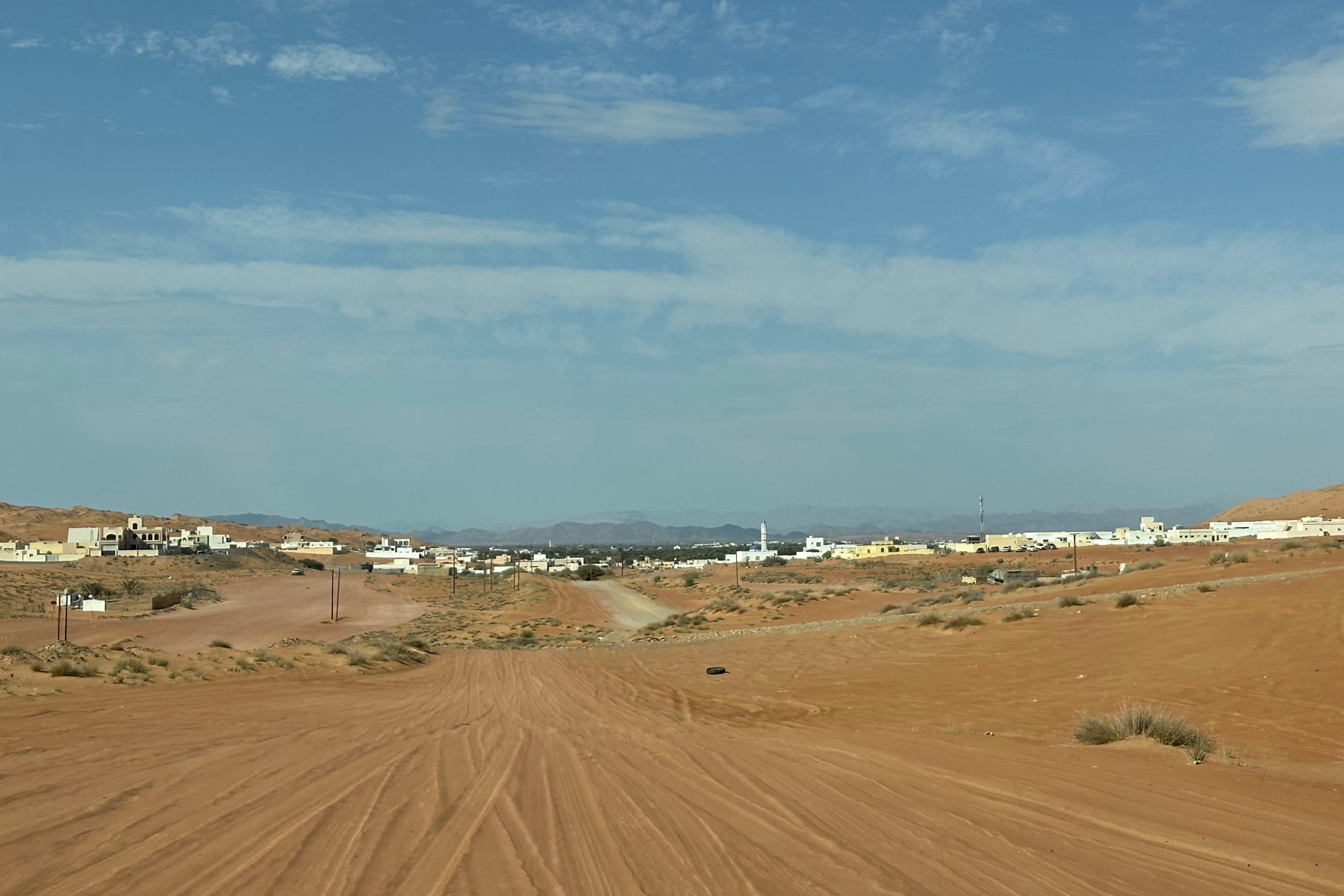
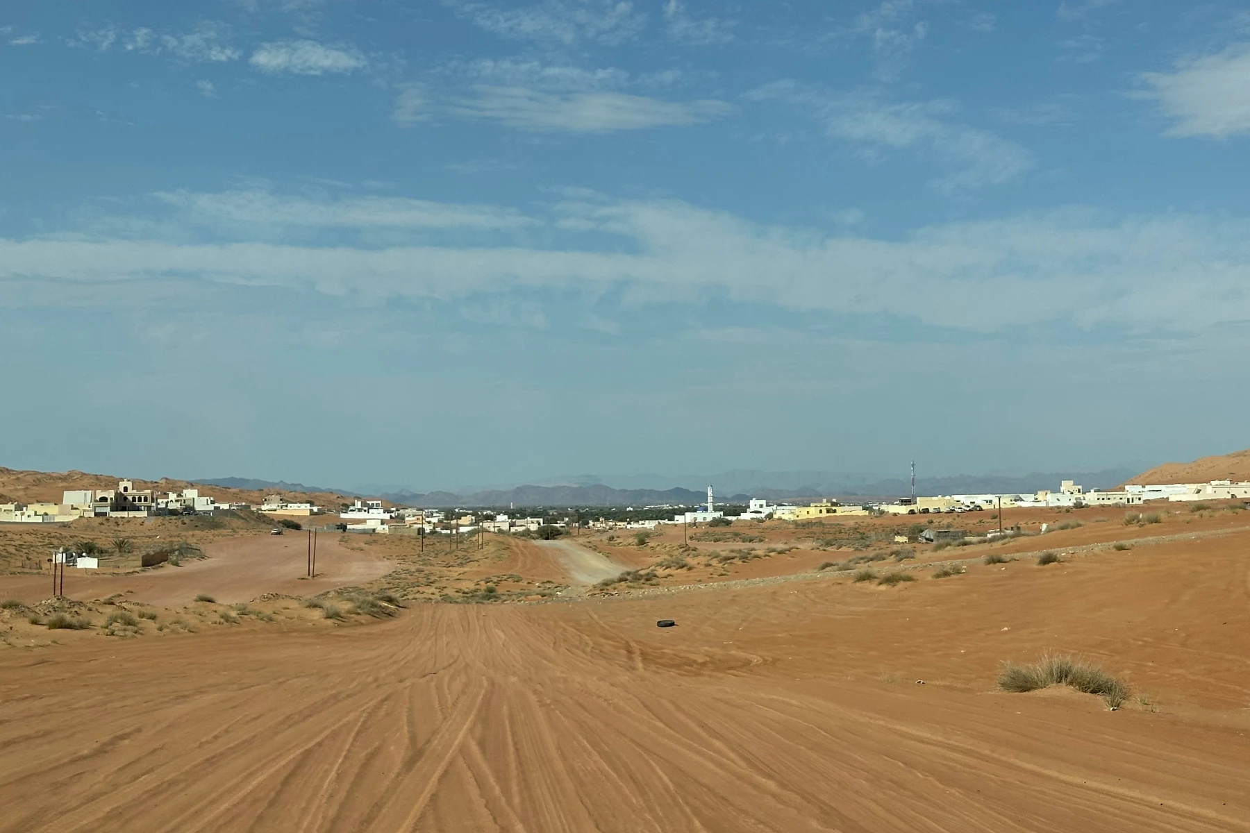
In contrast, if you want to go across country, you need just two roads from Muscat to Salalah: Route 15 and then Route 31. The distance is 1,020km, which you can cover in less than 10 hours non-stop. But it's a long, boring journey during which you'll need to keep your whits about you.
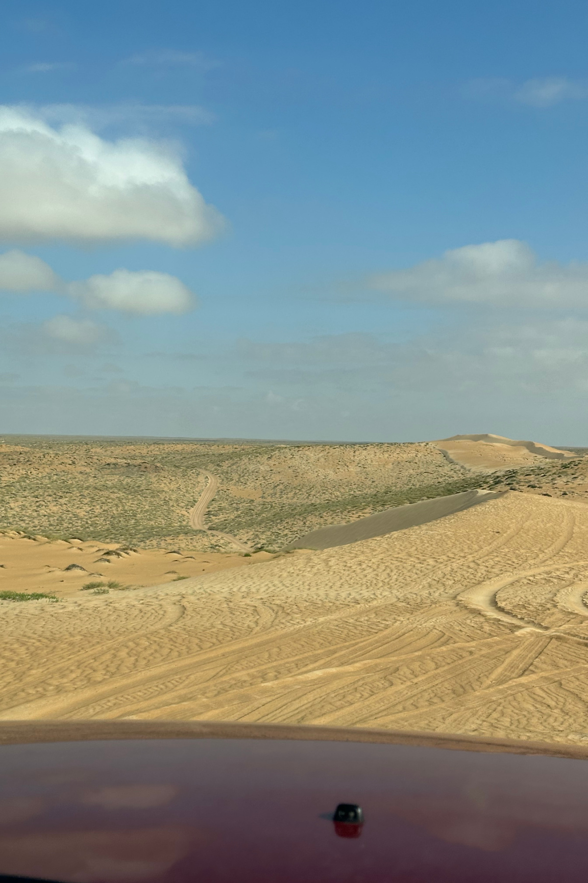
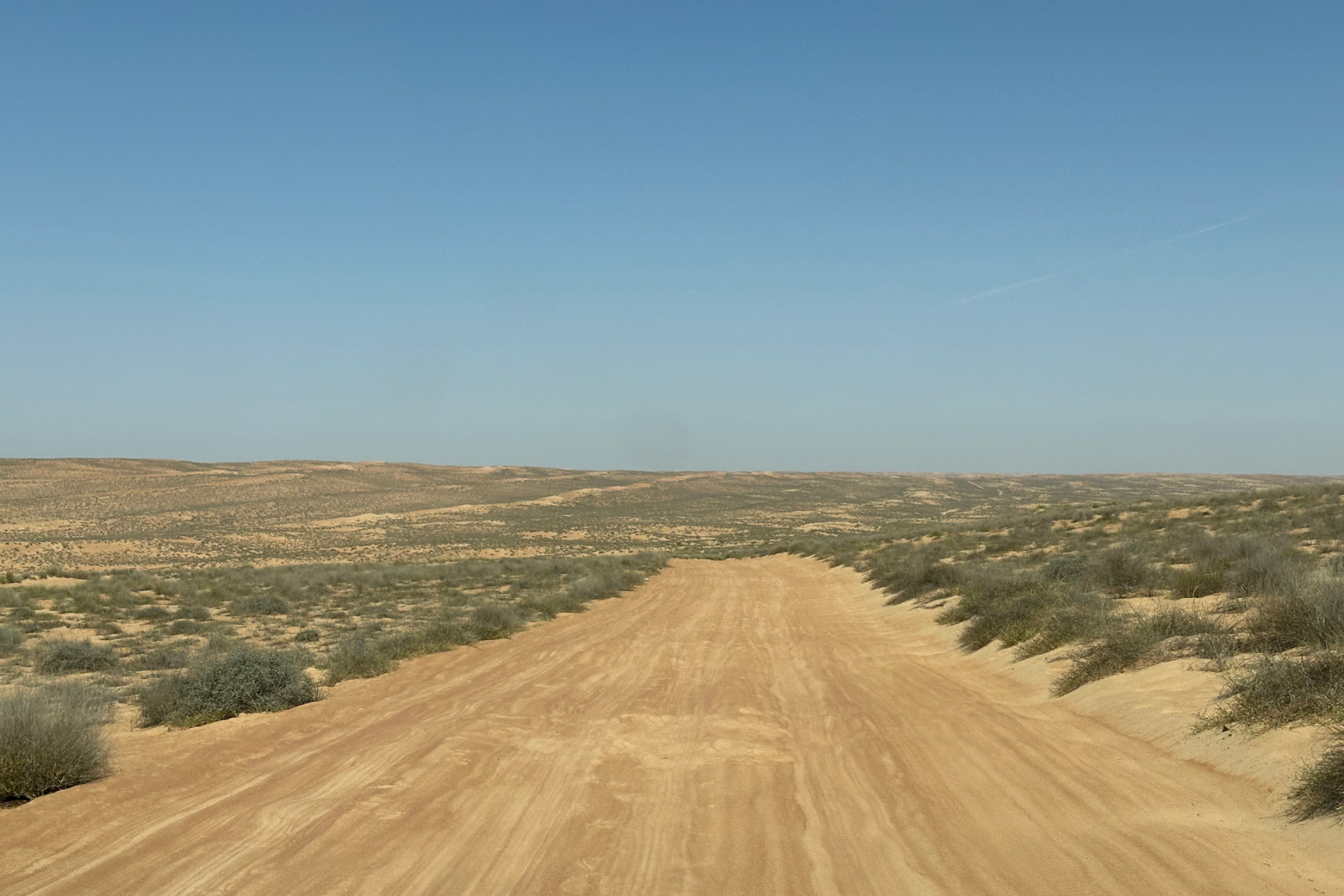
Sections of Route 31 run straight for hundreds of kilometres through a flat, dry landscapes to the east of the Empty Quarter desert, so they are prone to heat haze, shifting sands and difficult visibility.
These two pictures were taken two hours apart as we travelled north on Route 31.
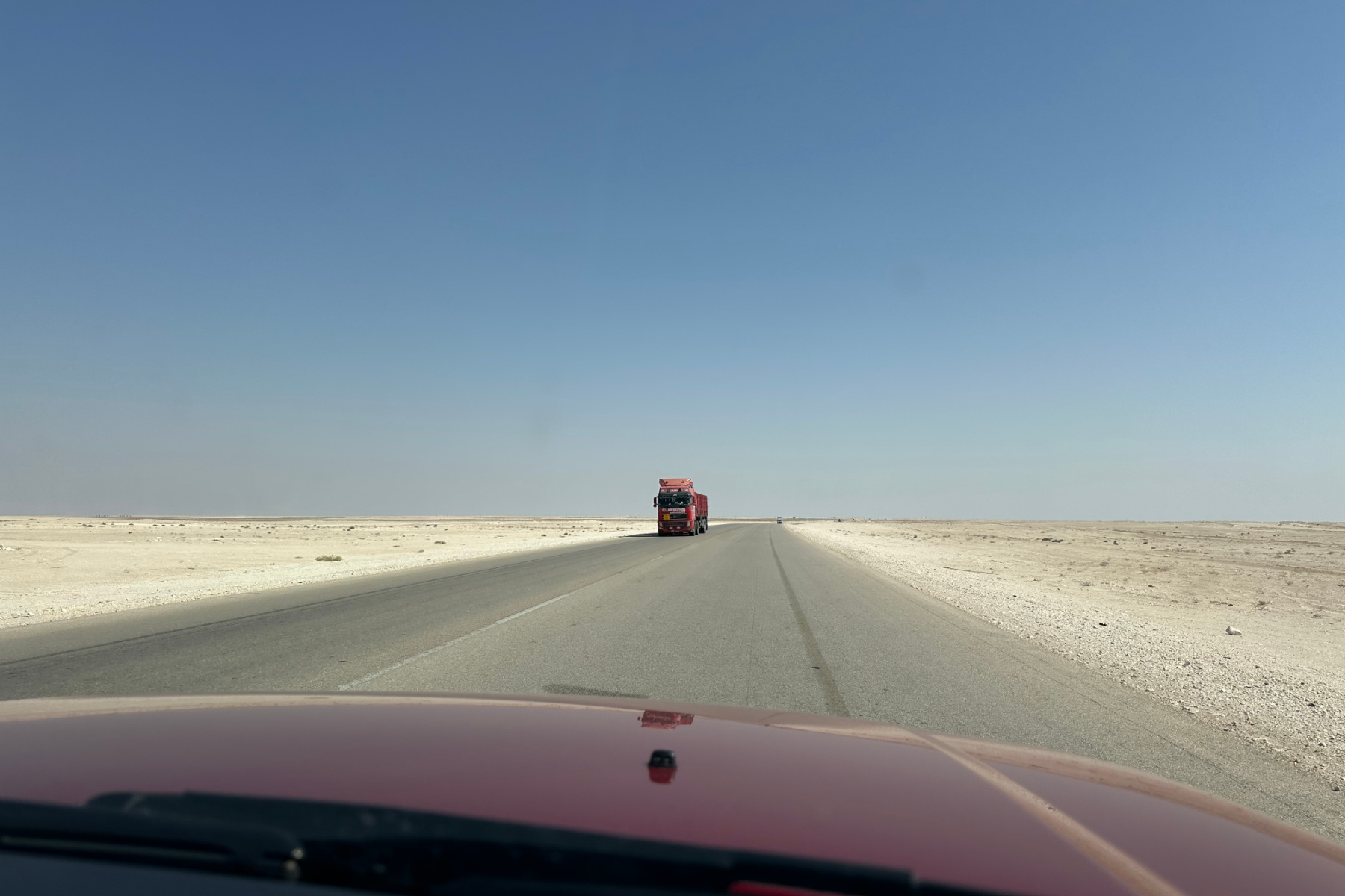

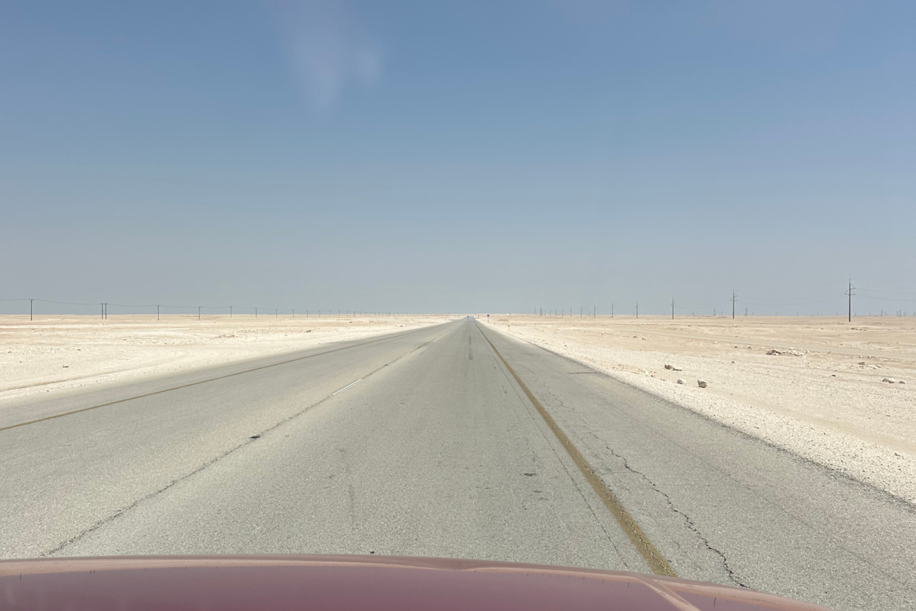

Articulated lorries transport goods along this single lane intercity route, making over-taking hazardous, particularly when it is difficult to judge the speed of oncoming traffic. And people do speed. There are cameras but, as everywhere in Oman, these are regularly spaced, so if someone wants to go over the 120km limit they have a reasonable idea how long they can get away with it.
All this makes the interior road much less alluring for me. But if you are time limited, and want to reach Salalah in a day, it's the obvious choice.
What about fuel stops?
There are plenty of remote petrol stations along both routes. As a general rule, don't pass one if you have under a half a tank - just for your own peace of mind.
You'll also find water, dry snacks and toilets at petrol stations, although don't expect much of the latter. You may have to request a key for the ladies' toilet from the pump attendants. Bring your own toilet paper and hand sanitiser.
Our 8 day round trip to Salalah from Muscat
We took this trip during our children's February half term break, planning each stage to fit into eight days and seven nights. Here's how that looked:
- Day 1: Muscat to Ras Madrakah
- Day 2: Ras Madrakah to Ash Shuwaymiyyah
- Day 3: Ash Shuwaymiyyah to Salalah
- Days 4 to 5: Salalah
- Day 6: Salalah to Duqm
- Day 7: Duqm to Ghalat
- Day 8: Ghalat to Muscat
Now on to the detail of our road trip. At the start of each day I've summarised the distance, route and places we stopped along the way as well as where we stayed.
There's also a journey time. This is not the driving time, but the time spent travelling including stops to give you a realistic idea of how long you need for this road trip.
Day 1: Muscat to Ras Madrakah
- Distance: 616km
- Roads: Route 15, Route 23, Route 27, Route 32
- Stop offs: Wabal Cafe at Mahoot
- Camping spot: cove at Ras Madrakah
- Journey time: seven hours
Our road trip began along familiar highways from Muscat that had previously taken us to Wahiba Sands and Barr Al Hikman.

We passed through the Hajar Mountains, small towns and camel farms as the landscape flattened into dusty plains. Three and a half hours later, we drove through Mahoot on Route 32 and realised this was the furthest south we had been in Oman. Everything from here was a new adventure.
We had brought lunch with us but stopped at a favourite coffee truck at Mahoot for drinks and cookies.
From Mahoot the road narrowed and the landscape rippled with what looked like ancient coral reefs, blackened by time and dusted in drifting yellow sands. An hour later, the industrial skyline of the city of Duqm came into view. We weren't stopping today, but did on our return trip five days later.
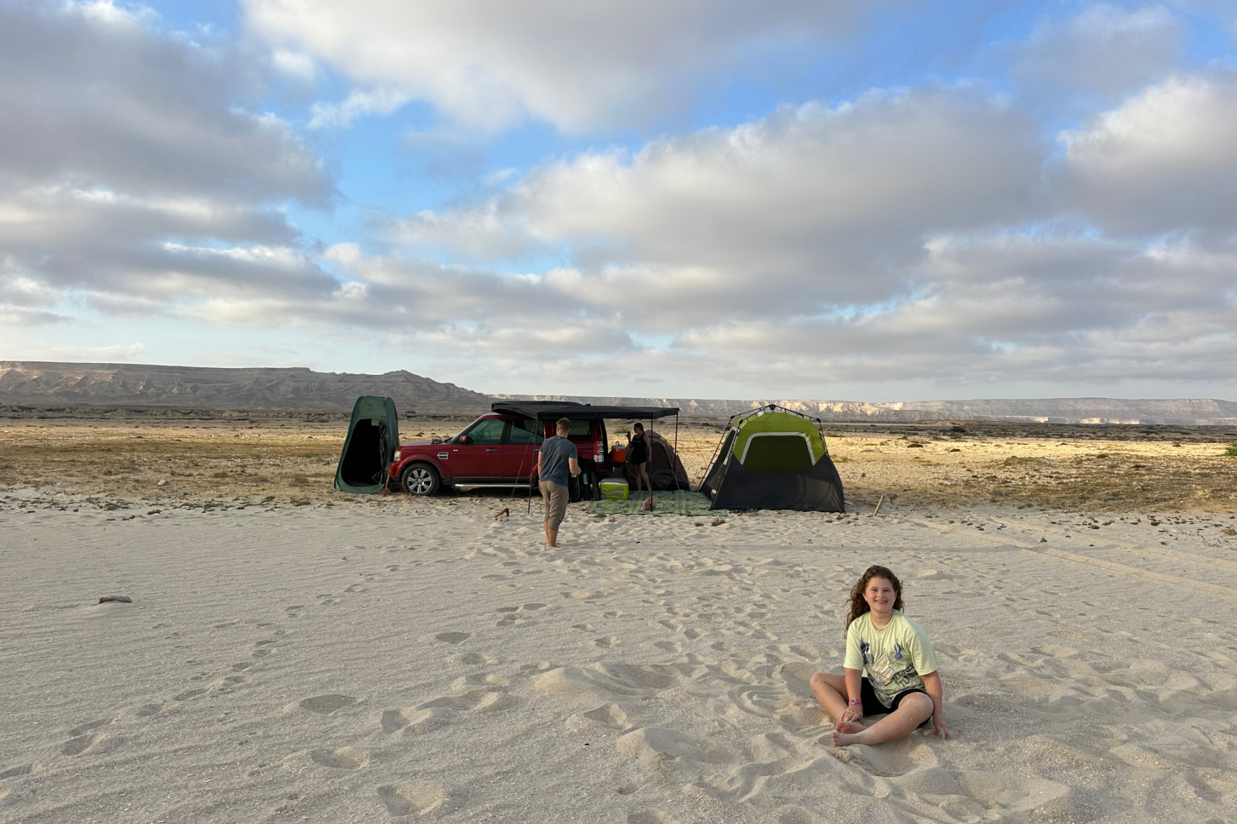
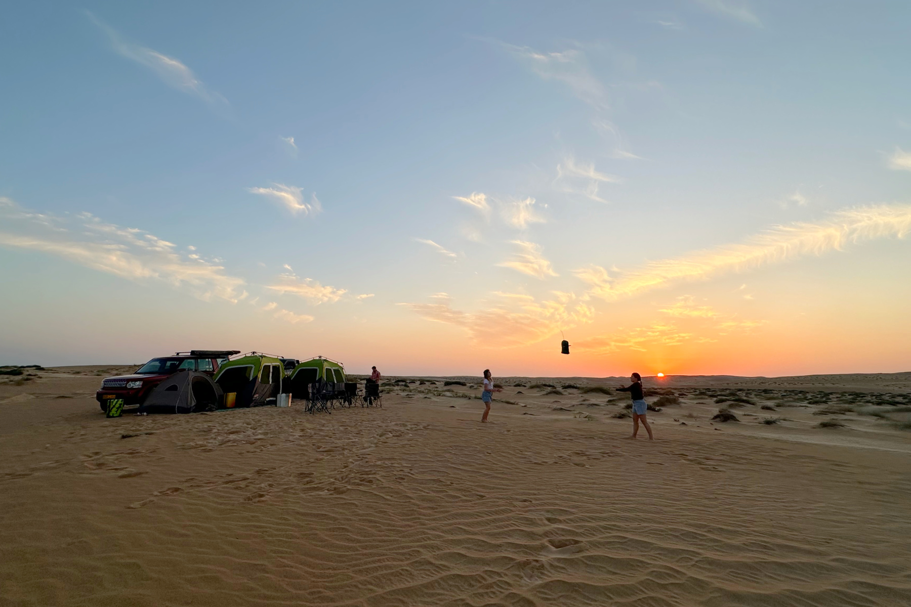
We continued another two hours south towards our first camping spot, Ras Madrakah.

During my research for this trip I had seen this recommended as a scenic spot to wild camp. We found a good place to park with a roof tent above Madrakah beach, but we were camping with a ground tents so needed somewhere less rocky.
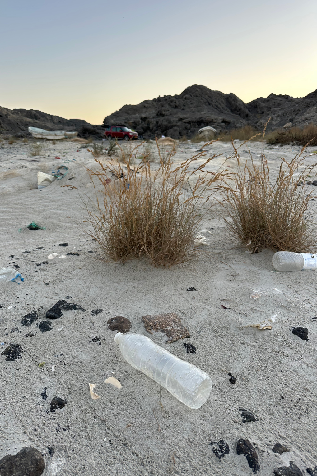
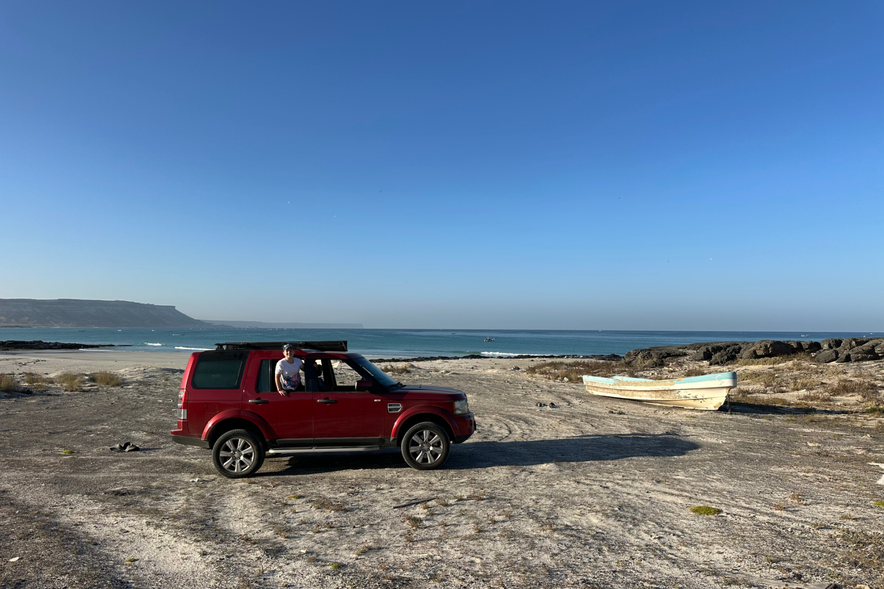
We continued around to the fishing boat-lined Ras Madarakah Cove to the north of the headland and squeezed along the rocky shoreline to find a more secluded beach.
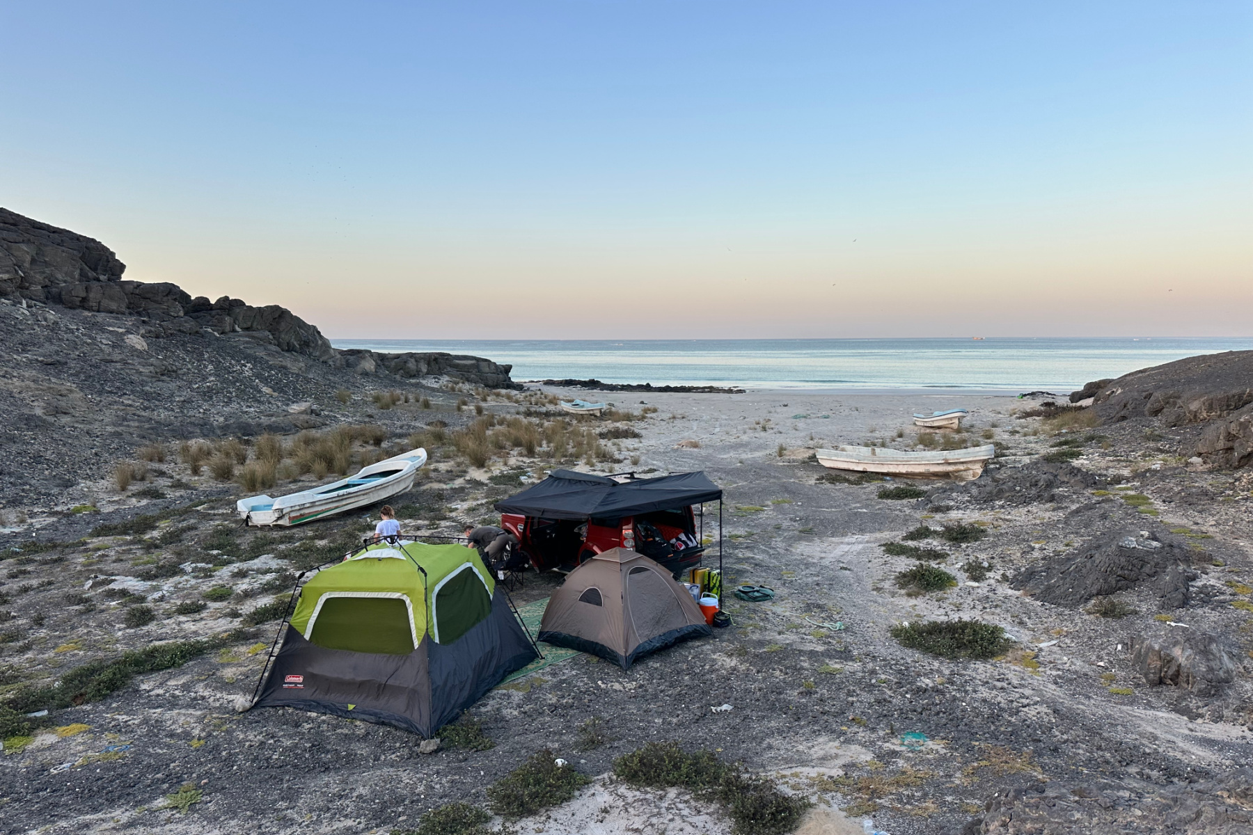

A small collection of motor-less boats indicated we would not be disturbed in the night by fishermen. Sadly, there was also a lot plastic and discarded fishing equipment which made this one of our more disappointing wild camping spots.


Find out more about our wild camping experiences, including how we choose where to pitch, what we take with us and tried and tested locations in my guide to camping in Oman.
Day 2: Muscat to Salalah road trip - Ras Madrakah to Ash Shuwaymiyyah
- Distance: 380km
- Roads: Route 32 and Route 41
- Stop offs: Haitiam Global Marketing supermarket | road towards Pink Lagoons | great roadside coffee at Lakabi | parking area in front of Wadi Shuwaymiyyah waterfalls
- Journey time: seven hours
We woke at dawn to find our tents dripping with sea mist. Thankfully we had done some major miles on day one, so were in no hurry to pack up.
We watched the sun rise and fishing boats sometimes speeding past while others soundlessly floated by as their three man crews kept their eyes peeled for their next catch.

By 9.30am we were packed up and back on the road.
For the next stage of our journey south we travelled along blindingly white plains, finding pink salt lakes and flamingos, up a mountain and down the other side to find Mars-esque boulders and cliffs that could be twinned with the Grand Canyon in Arizona.
We were very conscious that we had to take advantage of every opportunity to top up our food and water supplies during this middle day of our road trip. Small towns are few and far between and our ice-packed camping cool box could only hold so much.
An hour and a half into our journey we reached the small town of Haitiam where we stopped at a supermarket to pick up flat breads, laban and snacks. There wasn't much in the way of fresh food so we were glad we'd started our journey with a couple of barbecue dinners, as well as fruit and salad.
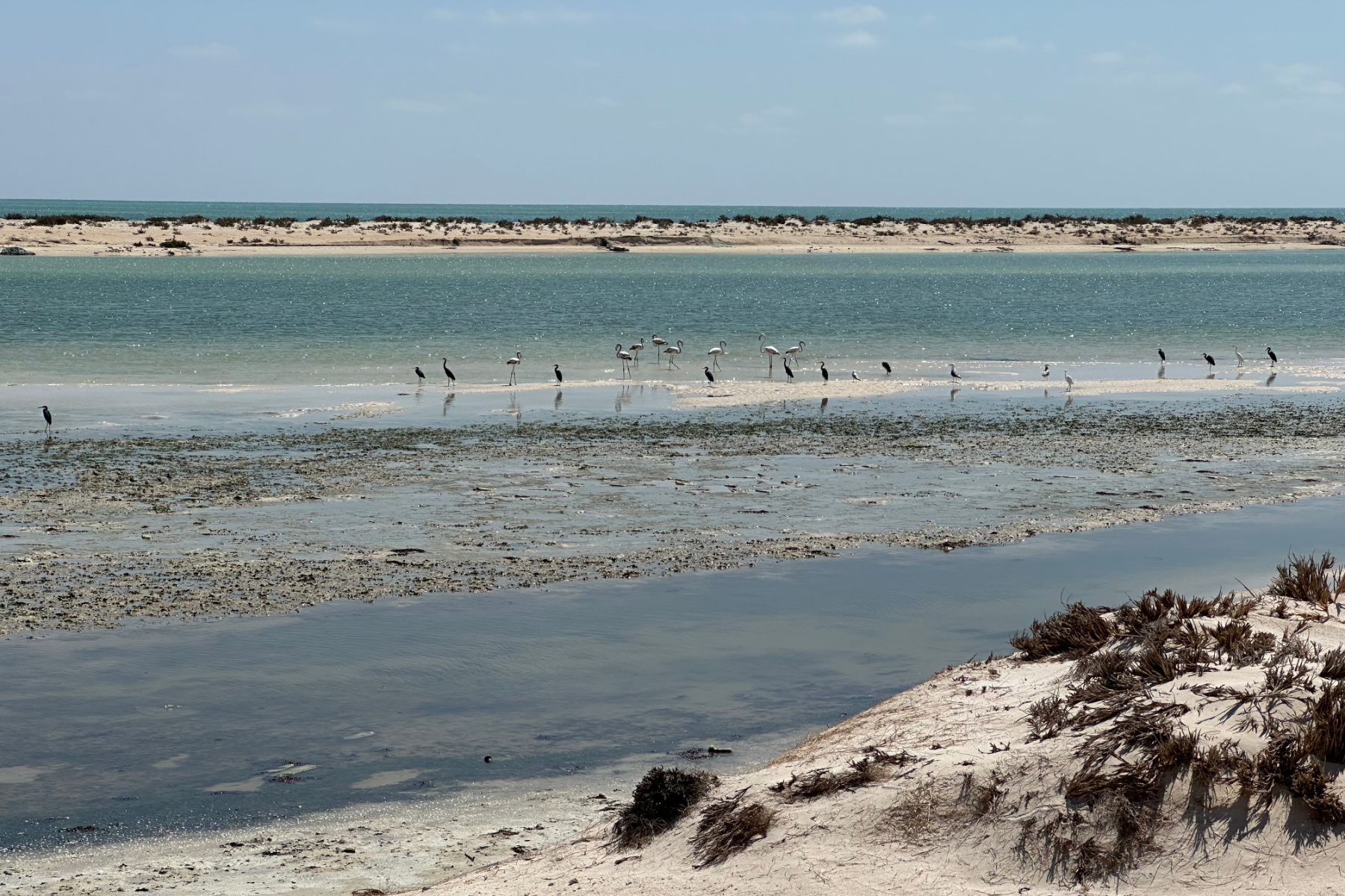
By midday we had covered 180km and reached Khahil (also shown as Al Kahel on road signs) and decided to take a 15 minute detour off Route 41 to see the pink lagoons. They were very dry in February but were an interesting diversion after several hours in the car.
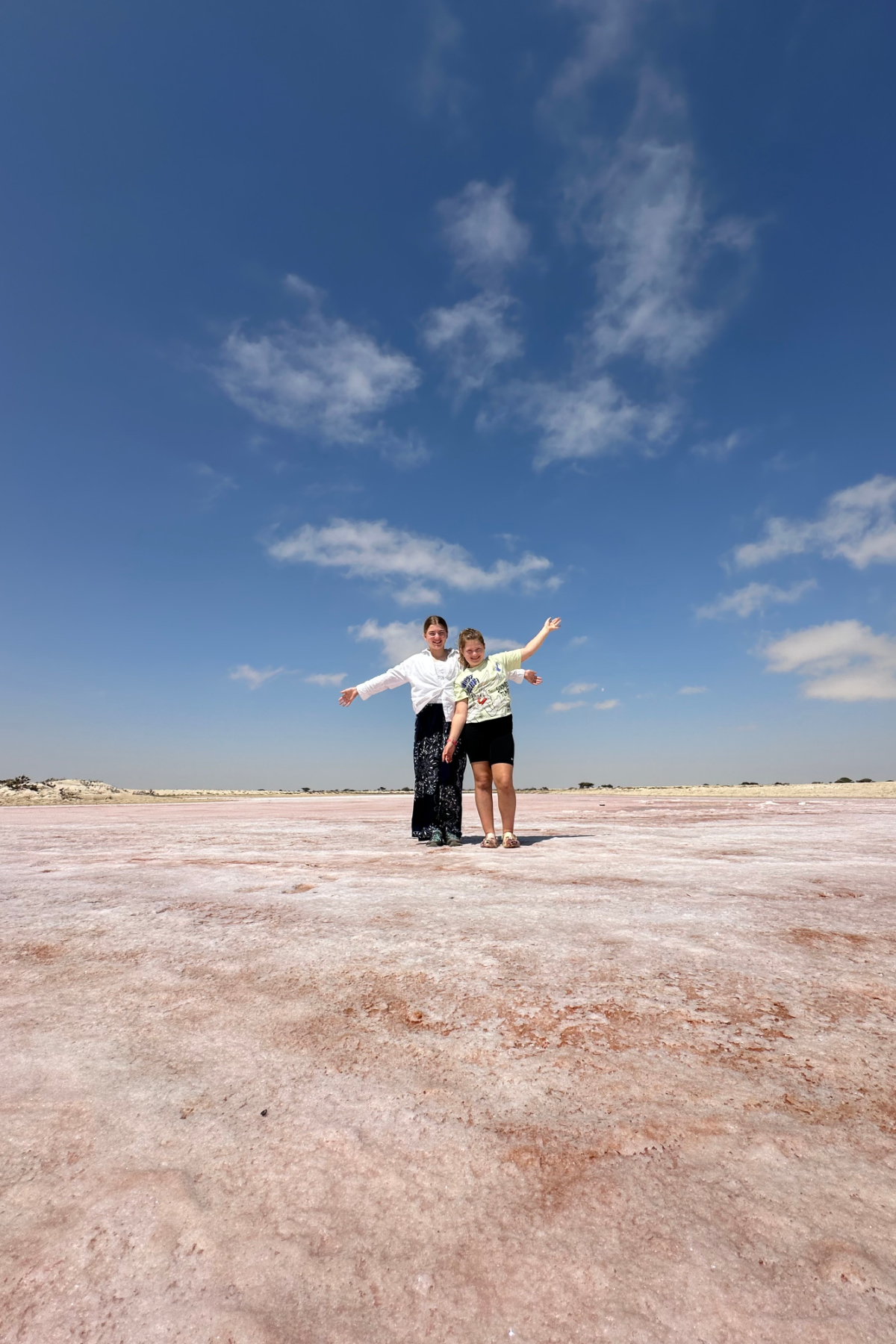

After lunch we drove along the shoreline before rejoining the highway and spotted gulls, stalks and flamingos in the lagoon. This would be a great place to wild camp, with a similar feel to Barr Al Hikman but much more accessible.

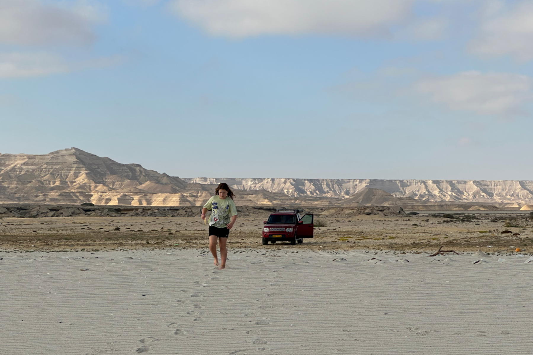
We pushed on another 200km, crossing flat plains beside the sea, climbing 200m up the Jiddat Arkad plateau and then down again into another Mars-like landscape on the coast.
The goal on our second day was to reach Wadi Shuwaymiyyah.
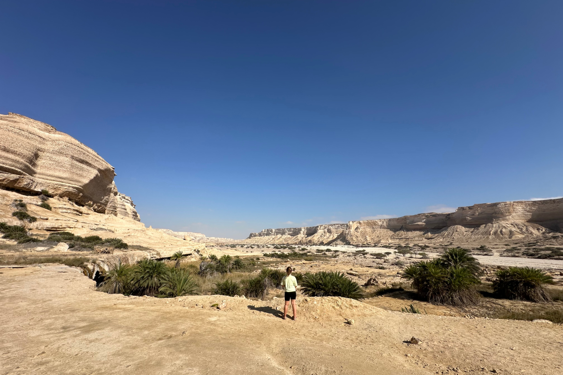

The main attraction here is a waterfall hidden behind an oasis of palm trees and tall pampas grass. There are huge stalactites hanging from the cliff from which a trickle of water dipped into the turquoise pool below. In the Khareef (monsoon season) this would be in full flow.
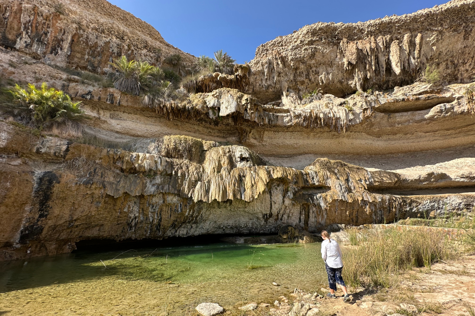

There was still enough water for us to have a refreshing dip before we headed back to to Shuwaymiyyah Beach to pitch our tents.

To the East we could see the twinkling lights of the small town of Ash Shuwaymiyyah and to the West the mountains we would traverse in the morning.

Day 3: Ash Shuwaymiyyah to Salalah
- Distance: 280km
- Roads: Route 41, Route 49, plus a detour to Wadi Darbat
- Stop offs: Jebel Samhan view point | Wadi Darbat Steps Waterfall | Darbat Cafe
- Journey time: six hours
The scenery on the final approach to Salalah made this our favourite day yet. It just kept getting better.

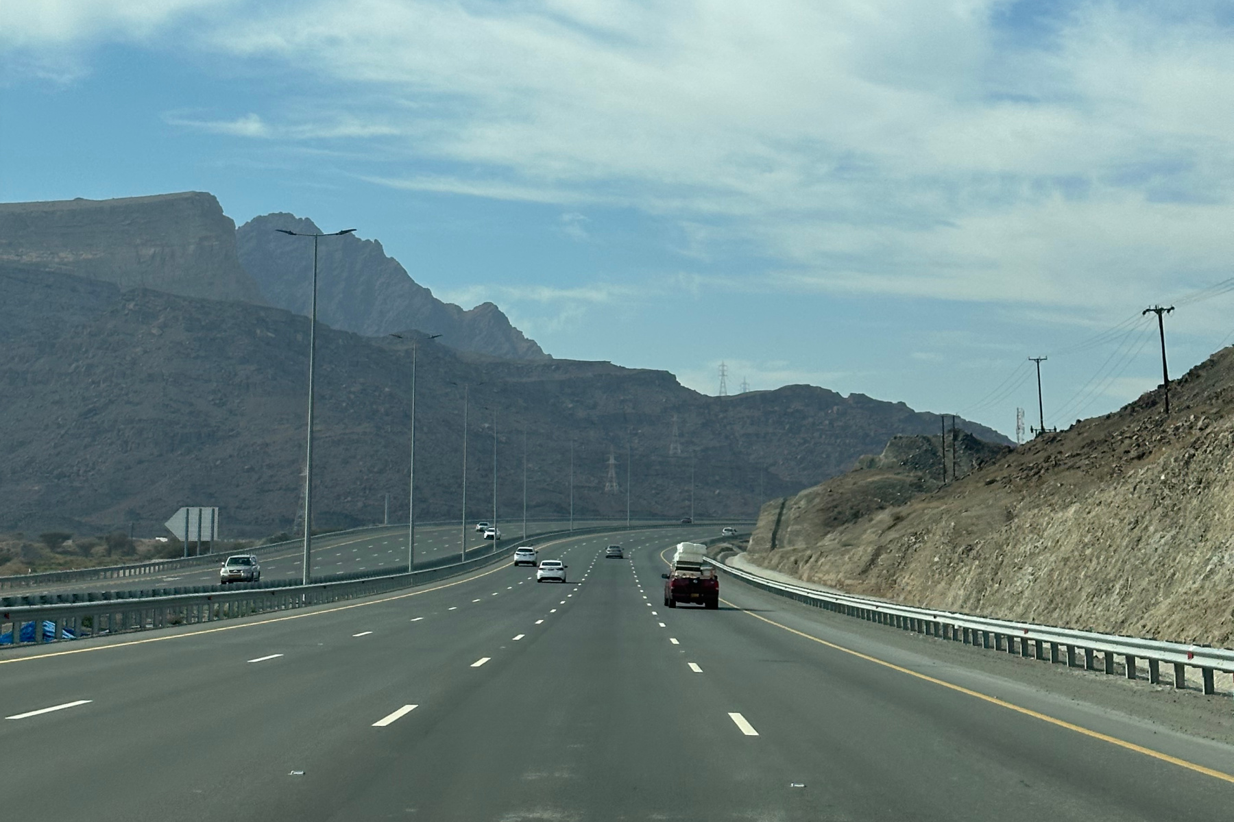
We were up with the sun and on the road by 8.45am - thankfully dryer than then morning before. We rejoined Route 41 and it wasn’t long before we began to climb the eastern end of the Samhan mountain range into the the clouds.


This would be another amazing place to camp with regular view points down into the wadis and glimpses of the sea in the distance.
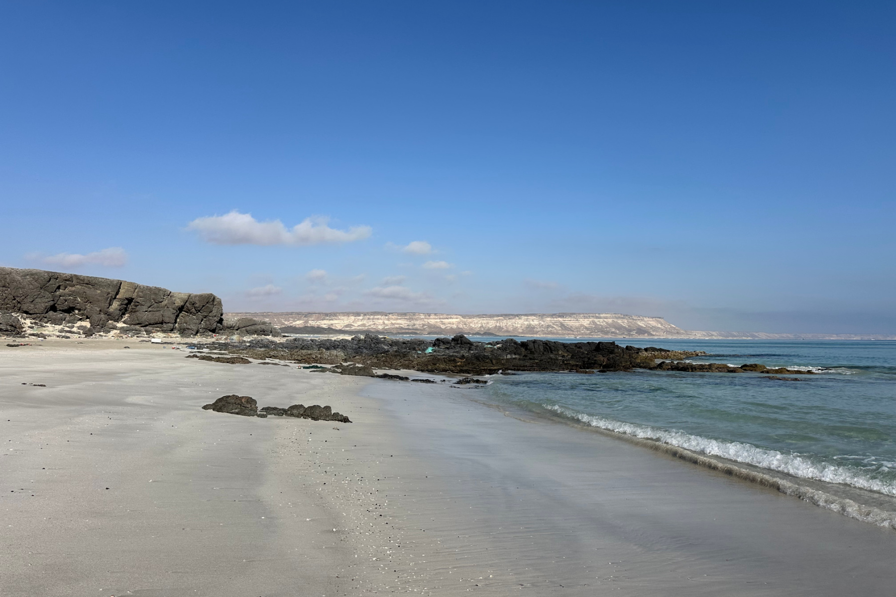
Mountainous roads dipped down to meet pristine white beaches whose only blemishes were sandy peaks made by burrowing crabs.

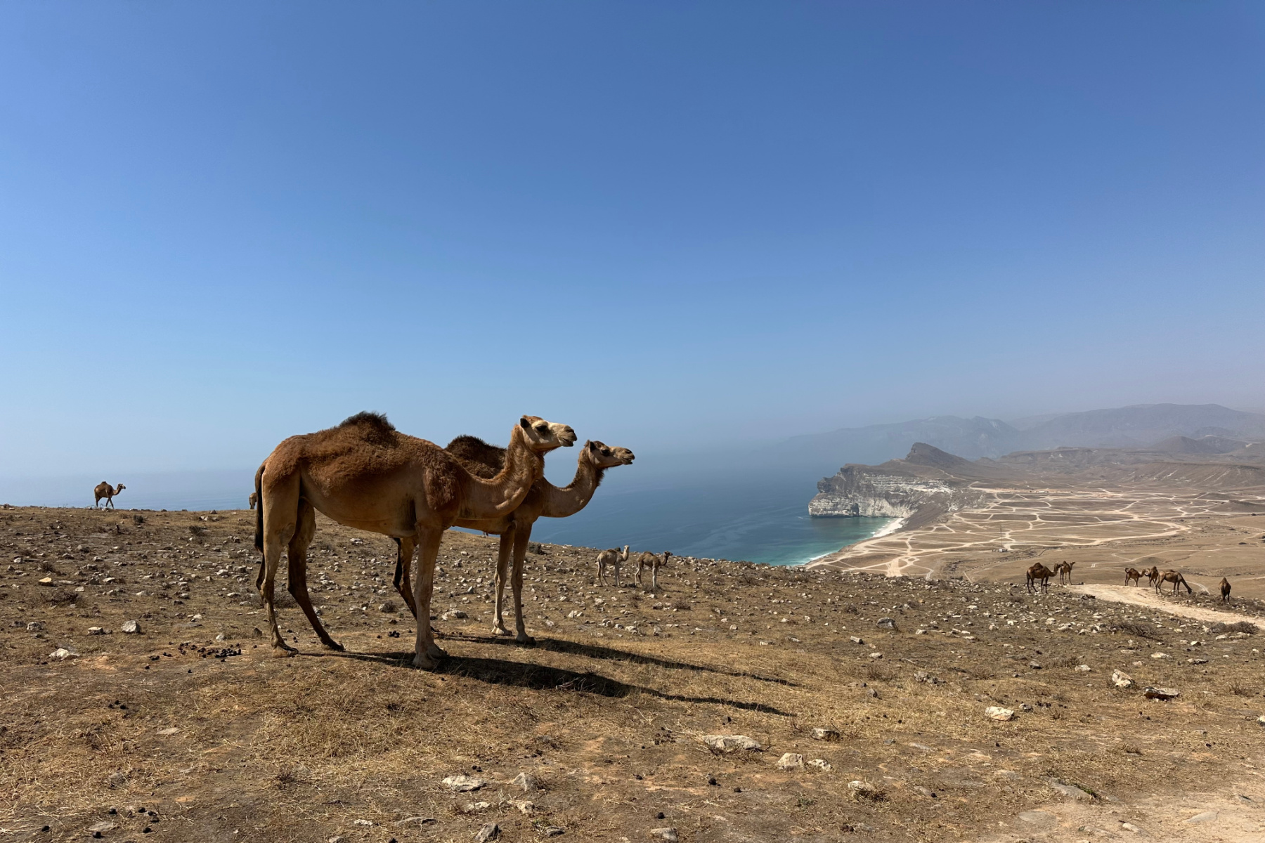
We didn’t see soul for miles except for camels. We spotted them from a distance lounging on the many beautiful beaches and then much closer as they casually sauntered down the highway.


The road weaved inland and back to the coast taking us through villages and small towns where we spotted shura councils sitting under open-sided sheds and friends sharing the news outside coffee shops.
Just after the town of Mirbat we took a right off Route 49 up into the tree-covered mountains in search of one of Salalah’s most famous natural attractions.
Wadi Darbat has a set of waterfalls that attract hundreds of thousands of visitors from across the Arabian Peninsula each year. People primarily come in the Khareef (June to September) when the flow of water increases and sends clouds of spray into the air. It’s a real crowd pleaser.

It was a lot quieter during our visit in February, but still very beautiful. We had no problem parking right next to the Steps Waterfall viewing platform.
It’s prohibited to swim at Wadi Darbat, but in the winter it was possible to climb up the side of the waterfalls to see them from above. When the water is in full flow this would be slippery.
In peak season there are people here selling fruit, drinks, candyfloss and other treats to visitors. We bought mango and papaya from the single seller making the effort in Salalah’s low season.
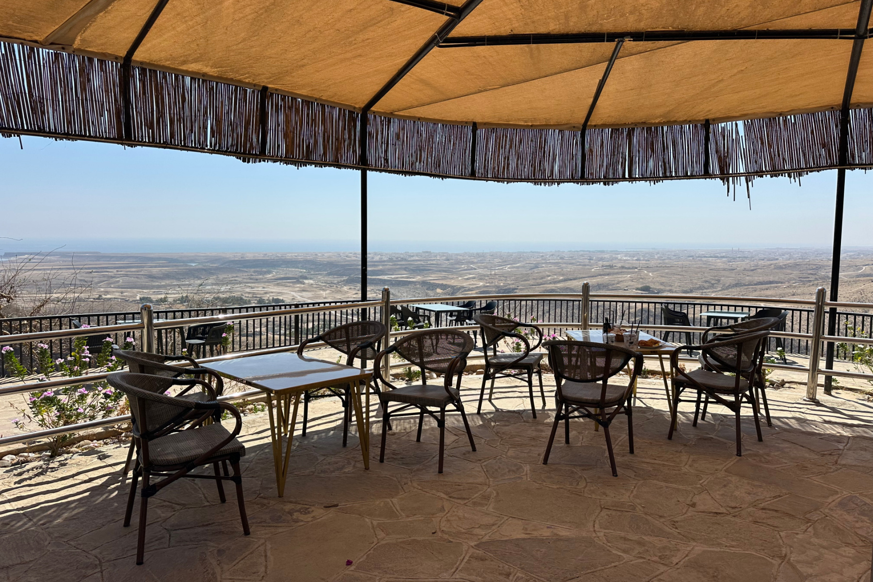

Darbat Cafe is back up the road where you can buy hot and cold drinks and food. I recommend the chicken burger. From the cafe there are panoramic views of the coast, palm lined hills and back towards the waterfalls.
From here we made the final 30 minute push into the city of Salalah, the capital of Oman's southern Dhofar’s region, having driven 1,280km since Muscat and now very ready for a proper bed and shower.

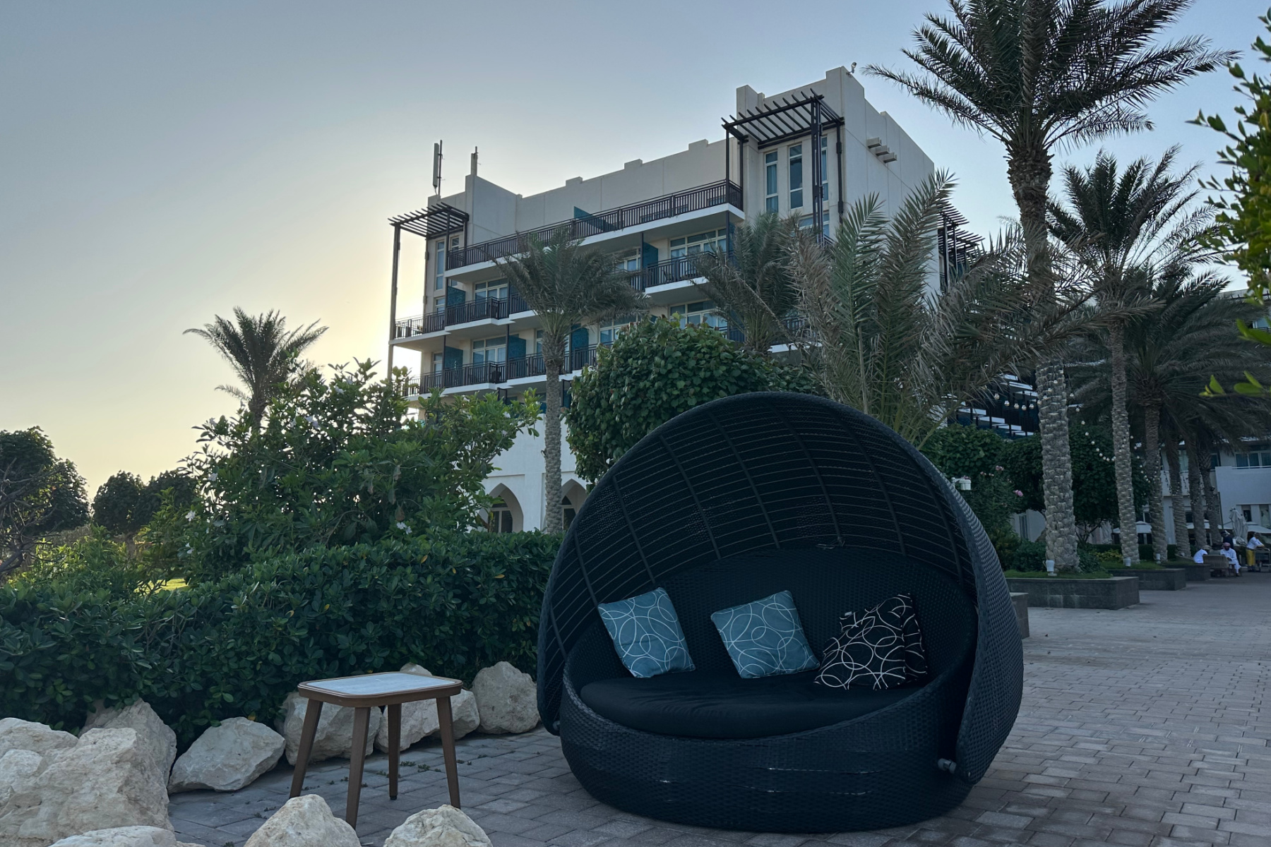
For the next three nights we checked into the Millennium Resort as our base for exploring the east and west of Salalah.
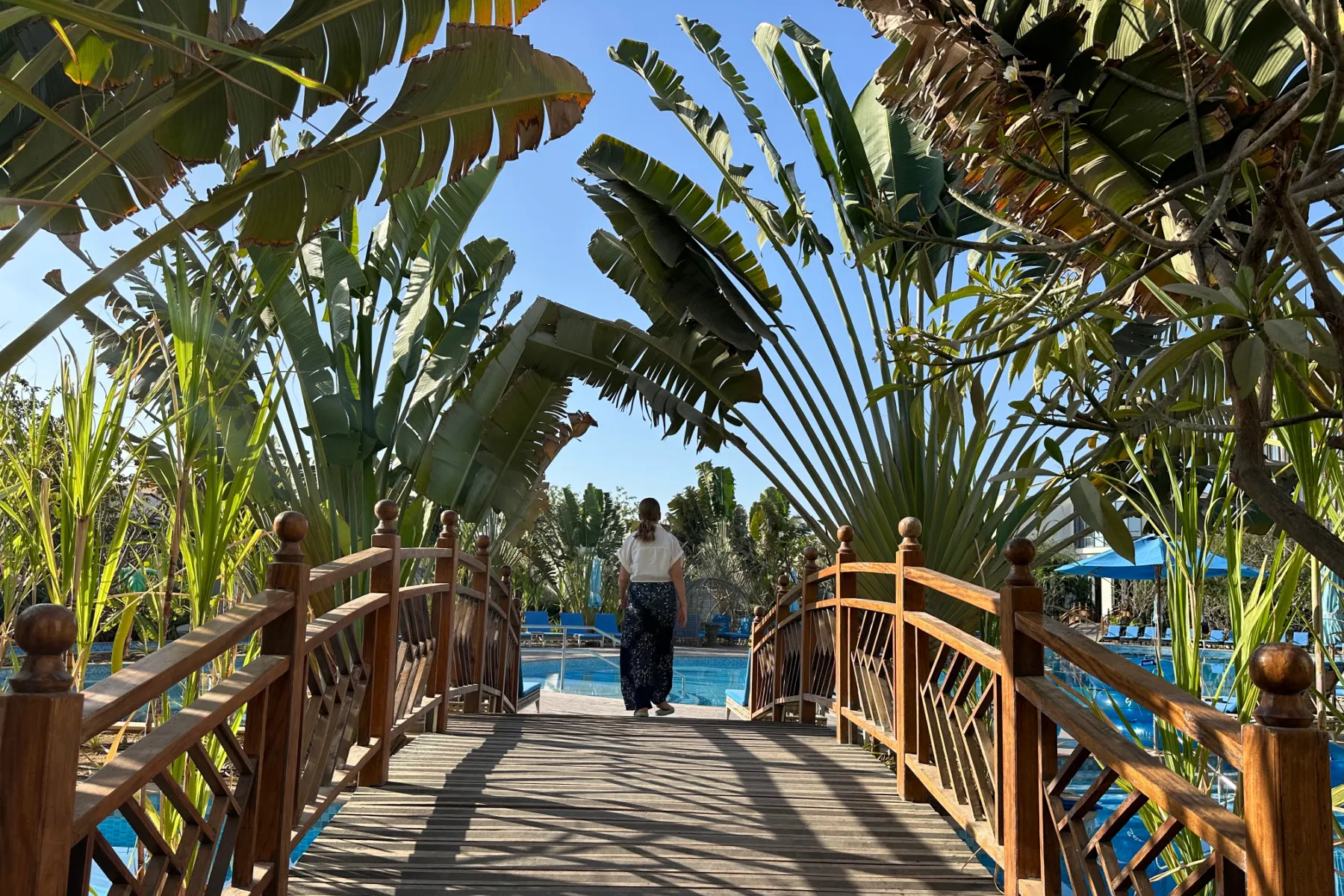
Day 4: relaxing in Salalah
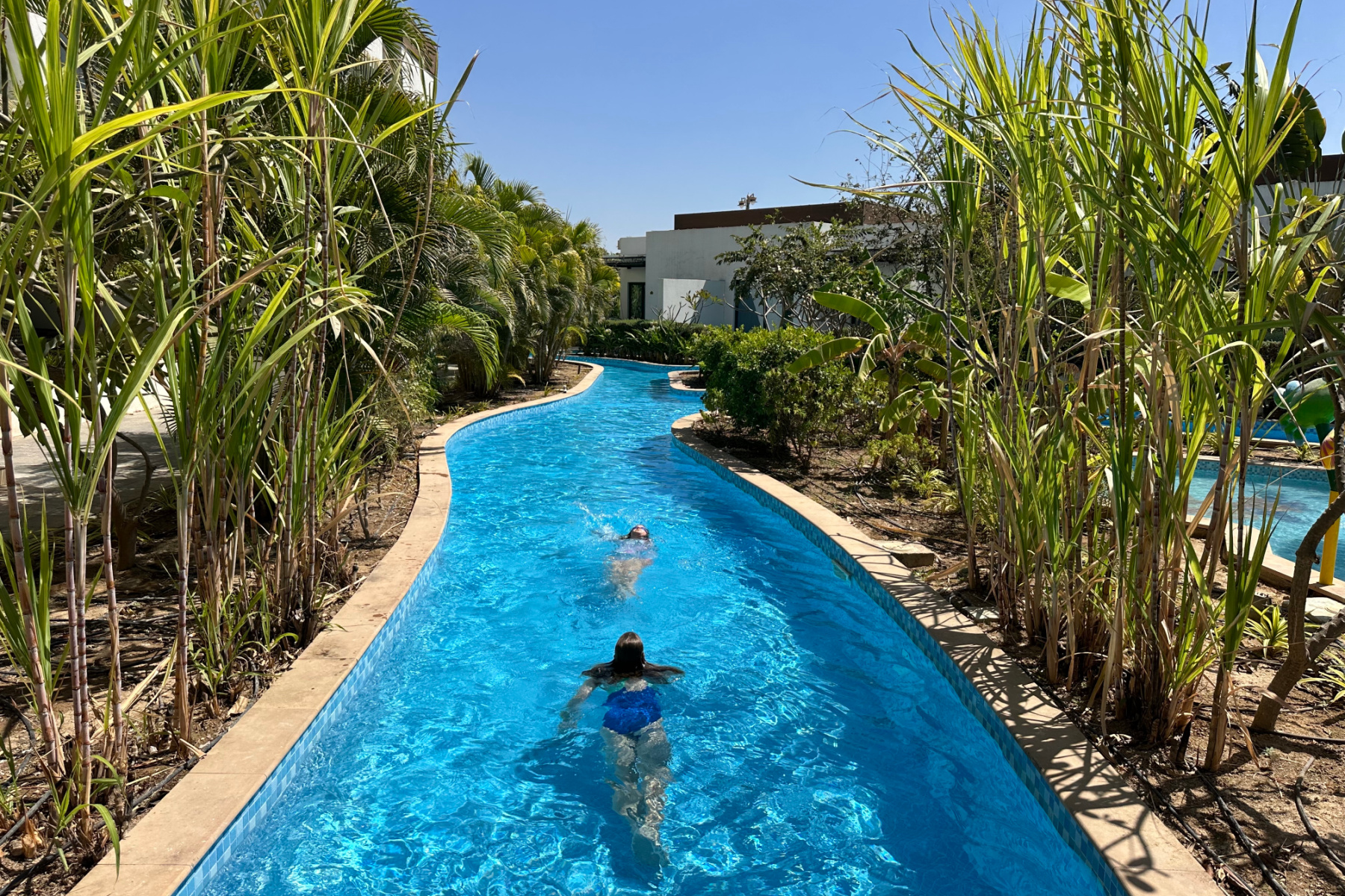

Our first 24 hours in Salalah was spent flitting between the pool and our two bedroom villa. It was such a treat to have a bit of luxury after 2.5 days on the road.
Read our full review of the Millennium Resort Salalah.
Obviously that couldn’t continue as we only had two full days here. So later in the afternoon we caught a taxi to Al Baleed Beach for a late afternoon walk and dinner. We can recommend the Crowne Plaza Salalah’s Dophin Terrazza restaurant.
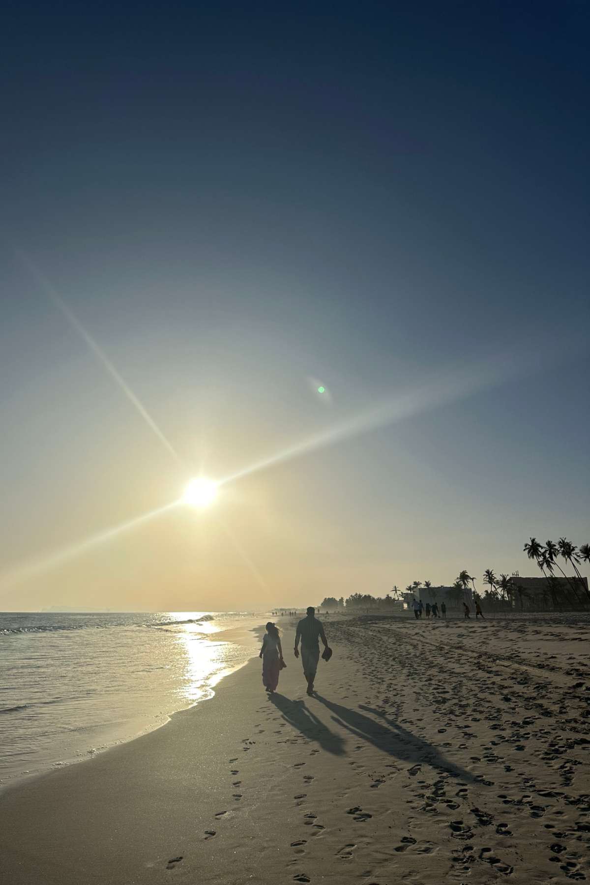

It was the perfect spot to watch the sun set and plan our adventures to the west of Salalah the following day.
Day 5: exploring Western Salalah
- Distance: 252km
- Roads: Route 47 with off road detour to the cliffs at Iftalqoot
- Stop offs: View of ship wreck | parking for the blow holes | Fazayah Beach
- Journey time: seven and a half hours
Today we got back on the road to explore the West of Salalah.
Our first stop was the cliffs above the wreck of MV Jernas, which was abandoned below the cliffs near Iftalqoot Beach after running aground in Cyclone Makono in 2018. It adds drama to an already dazzling coastline.
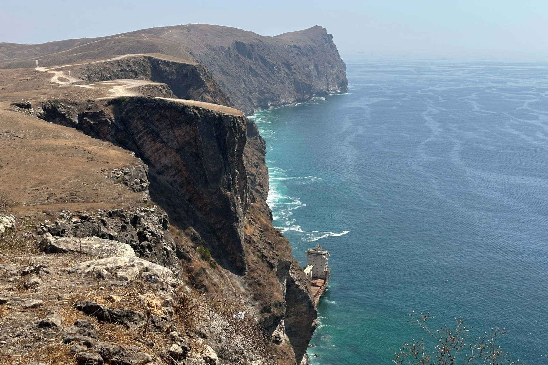

Reaching the view point is quite a drive through a military training area that doubles as a popular spot for camels. 4x4 is a must unless you want a long hike. Afterwards we realised if we’d driven a bit further we’d have had an even better view. But we had other sights to see!

Back on the main road it wasn’t long before we reached Mughsayl Beach. This has long been popular because of the nearby Marneef cave and blowholes and there was work going on to develop a large park for visitors.

The kids loved the blowholes. So much so that we had to return later in the day with their swim suits so they could dash through the clouds of water forced up from the wave below.
Next up we drove another half an hour West through the mountains and then down an off road track to Fazayah Beach.

This beach is often featured in Salalah publicity shots with camels taking a dip.
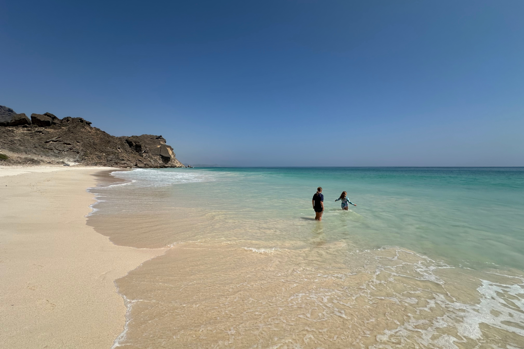

There were no camels today, so we had to make do with lunch with a view of the white sand and inviting turquoise ocean.
Day 6: Salalah to Muscat road trip - Salalah to Duqm
- Distance: 670km
- Roads: Route 31, Route 37
- Stop offs: Haima
- Journey time: seven hours
Today we bid a fond farewell to Salalah and hit the road for the first leg of our return journey to Muscat, setting off at 8am.
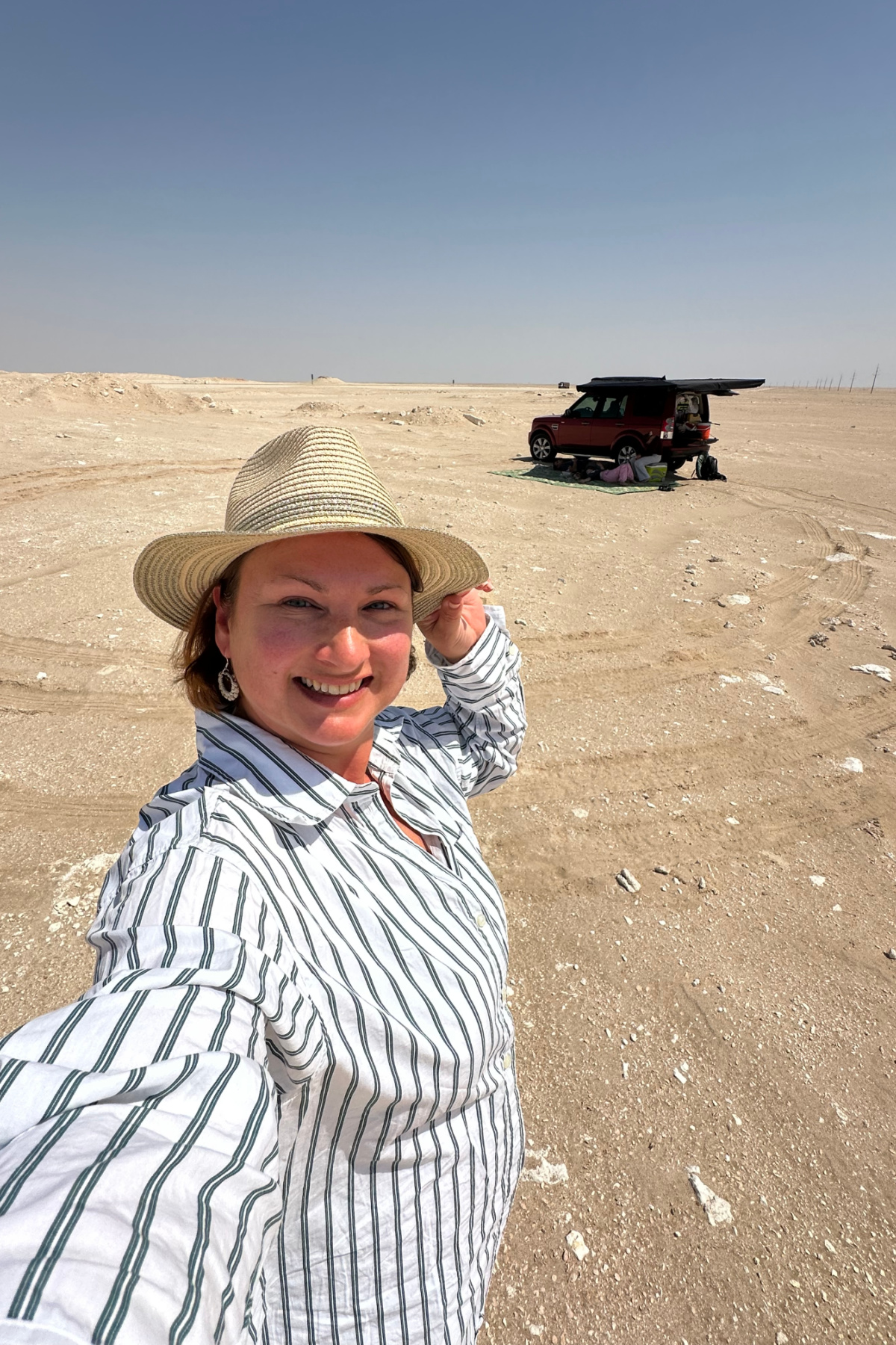
We decided to take the faster interior road rather than the slower coast road we’d traveled on the way south. Truth bomb: the scenery was dull.

Route 31 took us up the East side of the Rub' al Khali Desert, also known as the Empty Quarter, which Oman shares with Yemen, Saudi Arabia and the UAE. It covers 650,000 sq km and, as you can see, its name is well earned.

The single lane carriageway runs through dazzling plains of sand with a 360 degree horizon melting into a light grey sky. The odd limestone hillock, burnt out car and isolated town are the major points of interest.

There’s very few reasons to stop on this road, so we ploughed on with just a few fuel and rest stops until we came to the town of Haima. This sits on a T junction where you can continue on Route 31 on towards Nizwa and then Muscat, or take a right towards the coast. We did the latter.
After 670km and seven very un-Instagrammable hours, we arrived in the remote coastal city of Duqm where we checked into the sublime Crowne Plaza for the night.

If you have a chance to stay, do! The beach front hotel, friendly staff and delicious food were such a tonic after the long, straight road and bland skylines.
Read our full review of the Crowne Plaza at Duqm.
Day 7: Duqm to Wahiba Sands
- Distance: 285km
- Roads: Route 32 and coast road to Ghalat
- Stop offs: Wabal Cafe at Mahoot
- Journey time: three and a half hours
Our plan for today was to spend the morning relaxing at the hotel before the final leg of our journey across Wahiba Sands desert. This isn't a standard feature of the road trip from Salalah to Muscat, but it was an adventure on our Oman bucket list and now seemed like a good opportunity to fit it in.
If we had more time at this stage of the trip, it would have also been possible to visit Barr Al Hikman (a guide across the salt flats is essential) or catch the ferry to Masirah Island.
After lunch we retraced our steps north from Duqm to the crossroads town of Mahoot. This was where we met up with friends who’d travelled south to buddy up with us for the desert crossing.

We pulled off the main road just before sunset and camped with the sound of waves to the East and dunes as far as we could see in the West.
Our desert crossing began in the morning.
Day 8: crossing Wahiba Sands and returning to Muscat

Apart from pin pointing where we entered and exited the desert, I can't share a Google Map for the first seven hours of today's journey. It simply isn't marked on Google. We used a GPS navigation app, which is a must as there's no mobile signal for the majority of the drive through Wahiba Sands. We downloaded this beforehand to make sure we stayed on track.
Here's the route from Al Raka to Muscat:
- Distance: 371km
- Roads: Bedouin road, Route 23 and Route 15
- Stop offs: Al Reham Coffee Shop | Sol Cafe - both frequent stops for us on the way to or from Wahiba Sands
- Journey time: desert crossing seven hours | Al Raka to Muscat two hours 45 minutes
We’d driven in this desert many times while living in Oman but hadn't completed the 174km long Bedouin road until now. This runs from Ghalat where the dunes meet the Arabian Sea to the landlocked town of Bidiyah in the north.

The well-used sandy track is easy to follow. Along the way there are camel farms, an incredible mosque two hours from the nearest tarmac road and rolling scrubland that transforms into towering dunes.
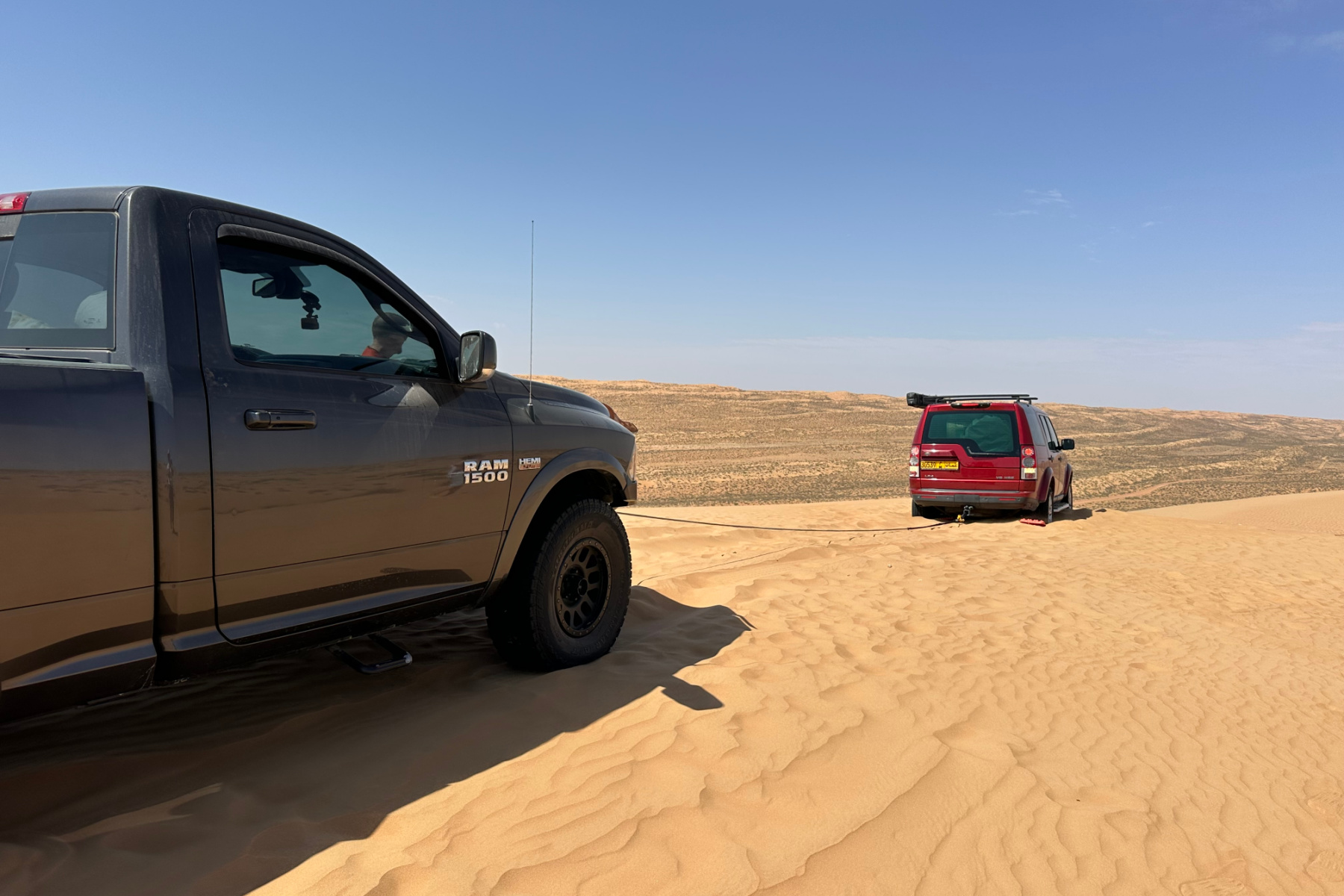

While I say ‘easy’, our journey was also a good reminder of why you should never underestimate the desert. We sunk in soft sand while seeking out a lunch spot off the track and taking an unnecessary detour.
Thankfully we had the right equipment to get us out.
Read more about our journey along the Bedouin road including the recovery equipment we had with us.
After seven hours off road we came to the small town Al Raka near Bidiyah where we aired up our tyres and continued to Al Wasil for a well-deserved cup of Karak Tea.
The final 197km was along the very familiar Route 23 highway, which weaves through the Hajar Mountains to the outskirts of Muscat. We stopped off for a celebratory coffee at Sol Cafe not long before joining Route 15 at Fanja and made it back to Muscat before sunset.
Alternative routes to Muscat
I would only recommend taking the Bedouin road if you are an experienced off road driver and you are travelling with an additional vehicle. If you are road-tripping solo, here are some alternative routes that don't require desert driving:
Ghalat to Muscat via Bidiyah - a good route if you want to visit Wadi Bani Khalid or a desert camp on the way
Ghalat to Muscat via Sur - a good route for visiting Ras Al Jinz, Wadi Tiwi, Wadi Shab and Bimmah Sinkhole on the way
Final thoughts on our road trip from Muscat to Salalah

If you are a fan of road trips or want to see more of off the beaten track Oman, this adventure is for you. I would easily rank it as one of our top five experiences in the country.
Travelling the coast road was incredible. I would happily repeat the experience, picking out some of the alternative camping spots we'd discovered on our journey south. Returning via Route 31 made sense because of our time constraints, but if we had longer I would have avoided it.
If you are planning a road trip or camping as part of your adventures in Oman make sure you check out my tips for driving here and my wild camping guide. I also have plenty more travel tips informed by our 2.5 years living in and exploring the Sultanate.
Ready to go?
Plan your perfect Oman adventure with our UK-based, ATOL-protected travel partner who will help you craft an unforgettable holiday, tour or day trip
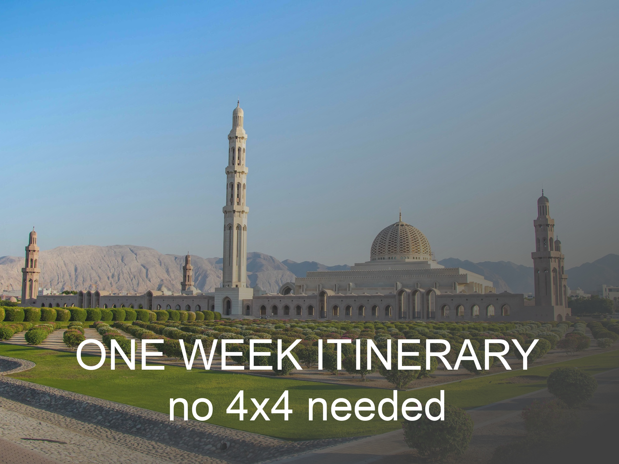
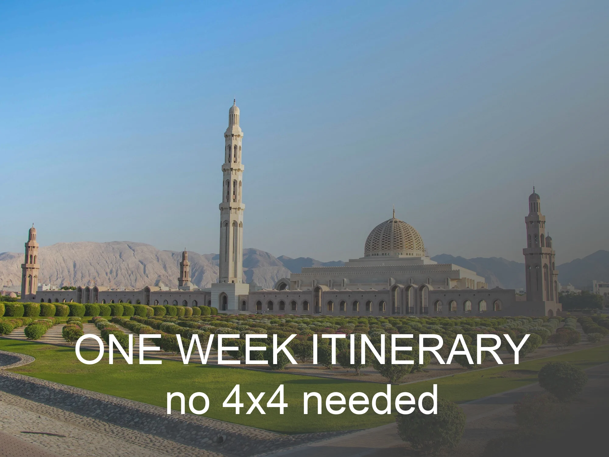
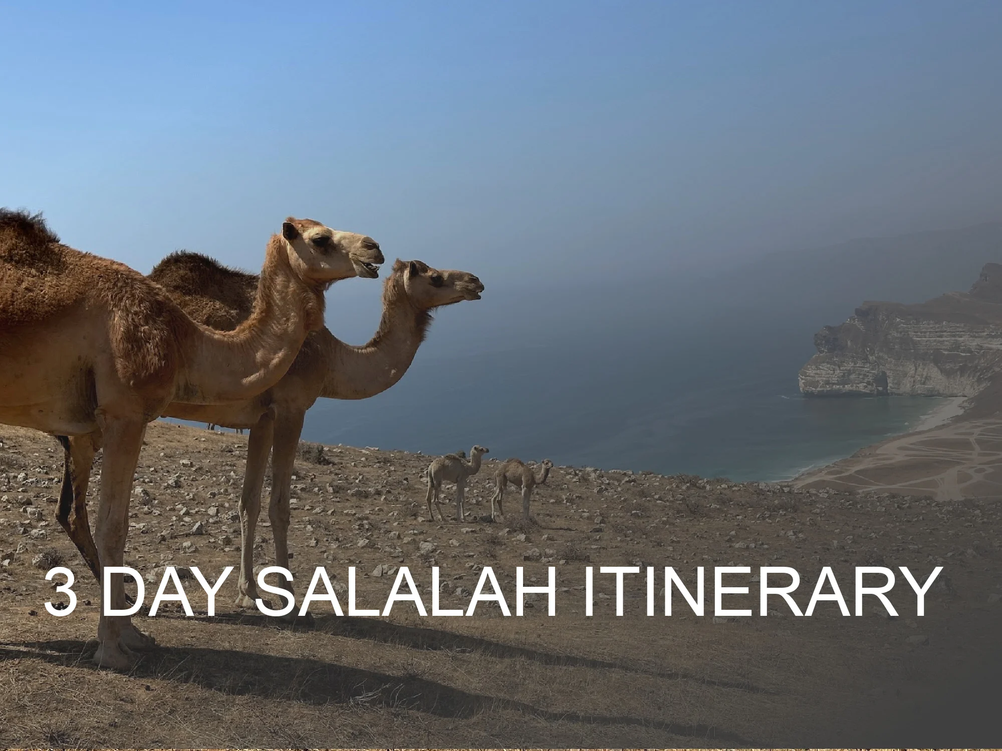
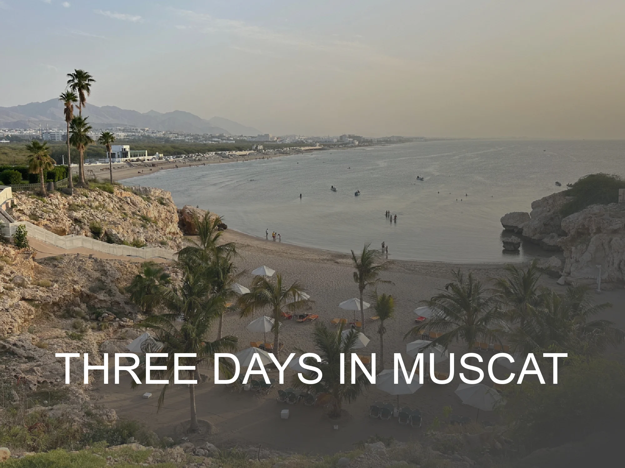
More Oman itineraries